Valley of Fires Recreation Area
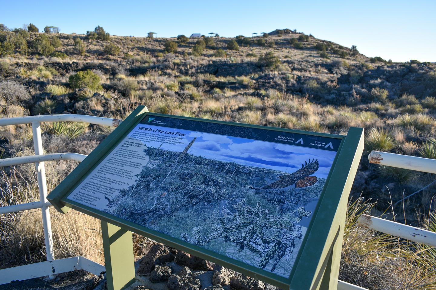
Overview Valley of Fires recreation area is located immediately adjacent to the Malpais Lava Flow. Approximately 5,000 years ago, Little Black Peak erupted and flowed 44 miles into the Tularosa Basin, filling the basin with molten rock. The resulting lava flow is four to six miles wide, 160 feet thick and covers 125 square miles. The lava flow is considered to be one of the youngest lava flows in the continental United States. The Bureau of Land Management maintains and manages the Valley of Fires Recreation area, which is located four miles west of Carrizozo, NM, on US Highway 380. Valley of
Book this campground
Reserve directly through Recreation.gov.
Reserve nowPlan a trip with this campground
Save it, build an itinerary, and get notified the second a cancellation opens up.
Sign up freeWish you could just see what’s actually available?
Wylara checks live availability across Recreation.gov, watches for cancellations 24/7, and tells you exactly when a site opens up. Stop refreshing tabs.
Live availability
See open sites at a glance, not after clicking through 12 dates.
Cancellation alerts
Get notified the second a sold-out site opens up.
Trip planning
Build a full multi-stop itinerary with activities, drive times, and weather.
Location
Valley of Fires Recreation Area is located at 33.6848, -105.9200.
Open in Google Maps